Adopt a single tree.
Watch it live, from space.
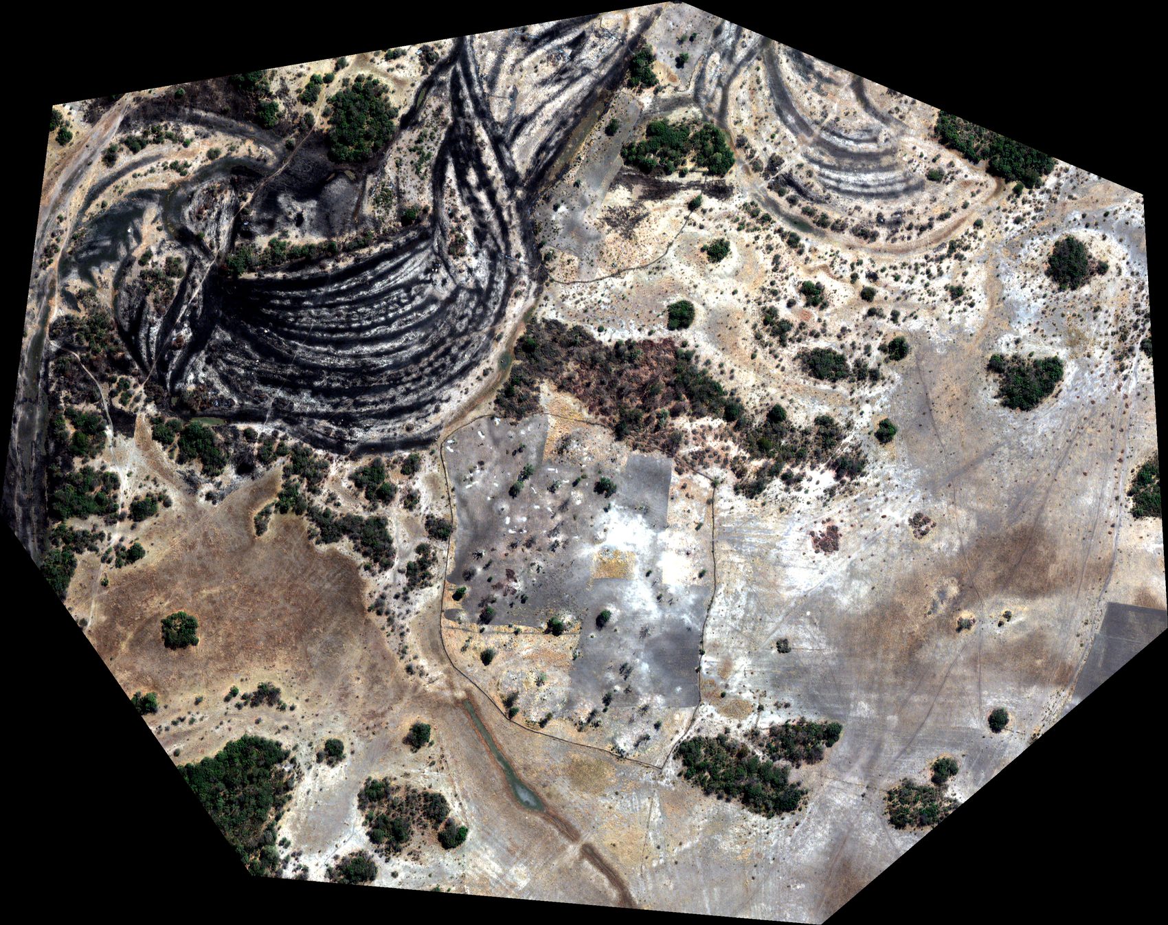
Every tree is real, found in sub-meter satellite imagery. Adopt one, name it, follow its health for years.
Every tree, individually accountable
Detected from satellite
Individual trees are found in real sub-meter Maxar imagery (NDVI + canopy height). Each gets a permanent ID.
Adopted by you
Choose a tree, name it, support it for a year. You get a certificate and a living page that updates over time.
Protected by the community
Your contribution pays a local steward to keep the tree from clearing and fire. We verify its health from space.
Honest about what satellites can see
Sparse savanna trees are the easiest case for satellite detection. We’re transparent about every layer: free data locates and monitors trees; paid sub-meter imagery draws their crowns and tracks growth.
- •Meta/WRI 1 m tree locations
- •Sentinel-2 health history
- •Full adopt-a-tree journey
- •SkyFi 30–50 cm imagery
- •Real crown outlines
- •Watch hero trees grow
Why donors trust it
- ✓Each tree has a permanent ID and an append-only observation log.
- ✓Every datapoint shows its source, confidence and model version.
- ✓Payments are stewardship (PES) — survival-linked, not carbon credits.
- ✓One-click monitoring reports for donors and auditors.
Trees already being watched
A real place, real people
The pilot sits at the gateway to Nkasa Rupara National Park, in a registered communal conservancy where communities already earn from protecting nature. Stewardship is coordinated with WWF Namibia.